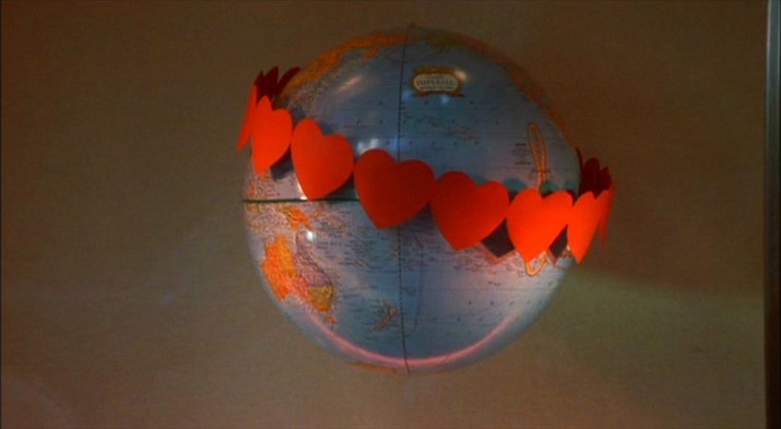
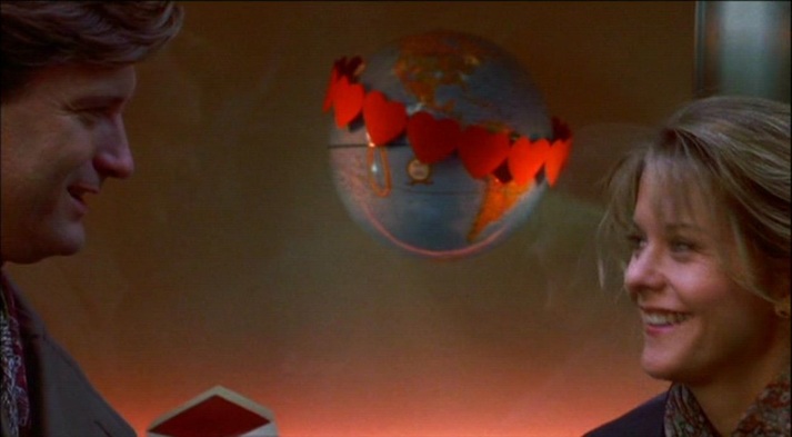
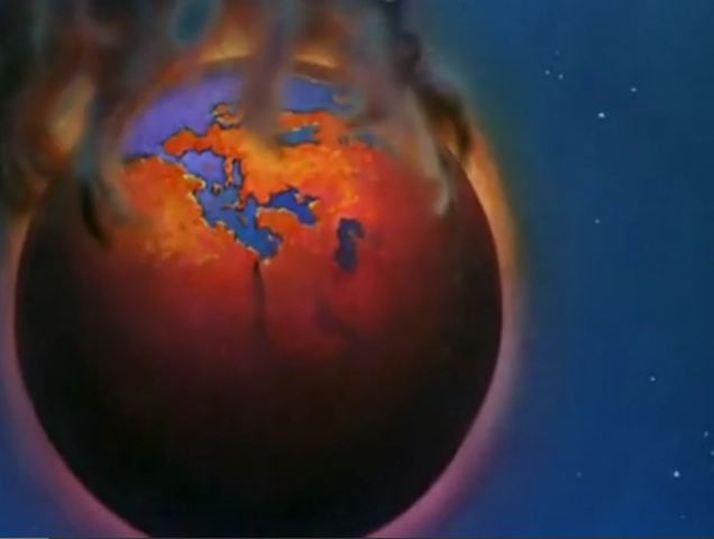
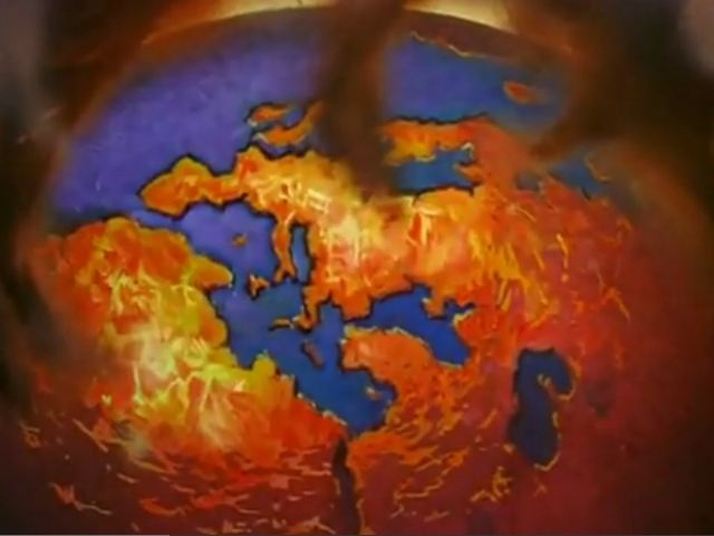
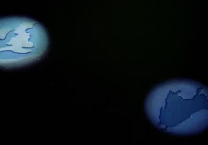
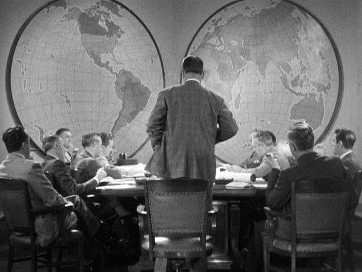
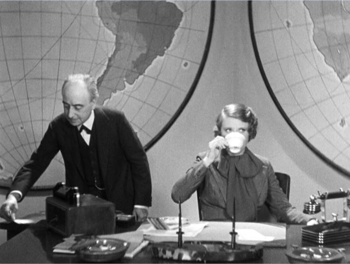
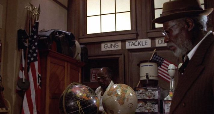
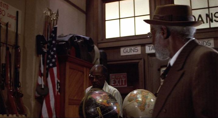
The two globes in this store are artfully positioned, not so much to signal black and white together - though that harmony is at the film's sentimental core - but rather to indicate the history of the blues, after the passage from Africa to the Americas. That history is the film's discursive core, and that the globe showing the Americas is black may be a riposte to any idea of Americanisation as a whitening. 
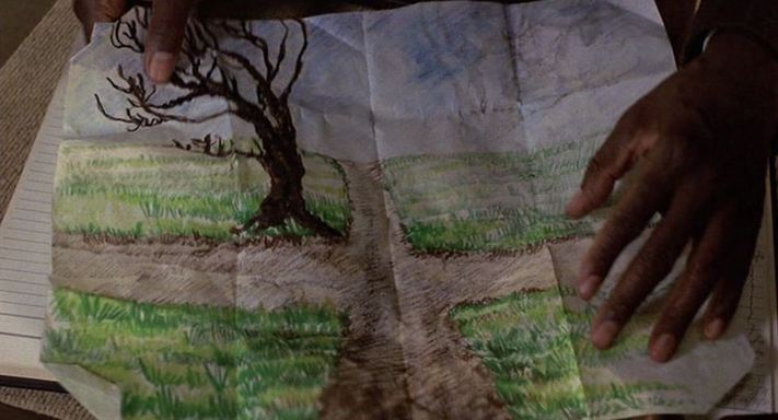
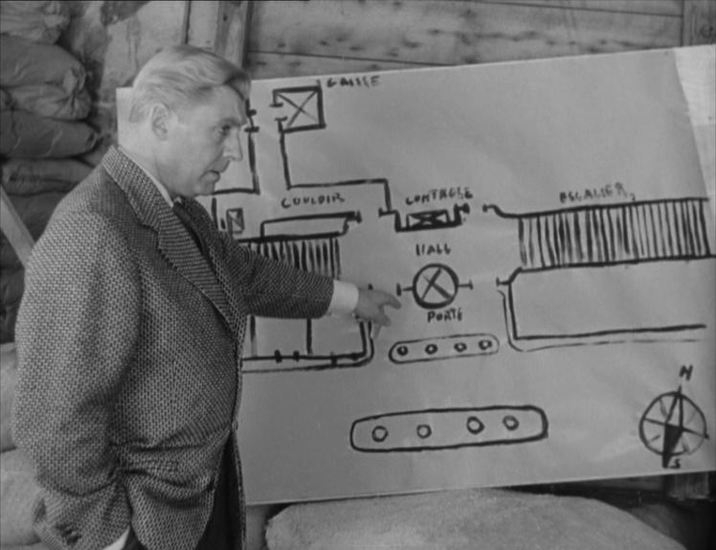
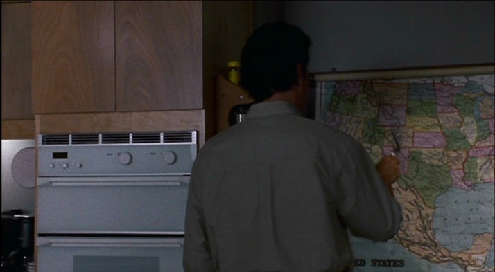
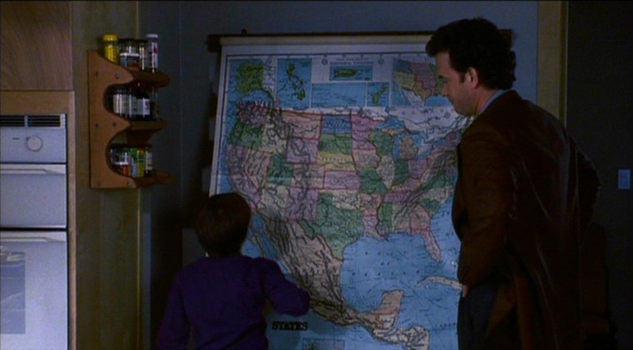
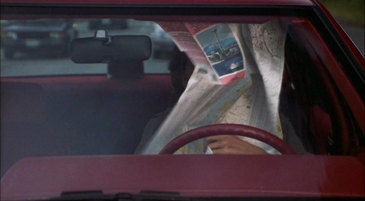
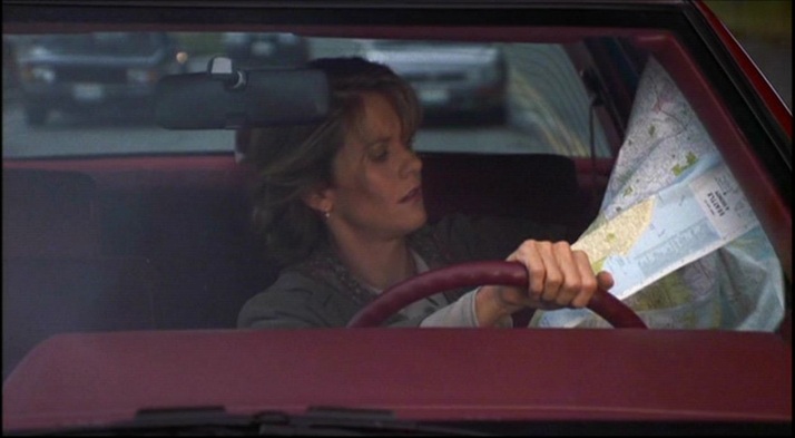
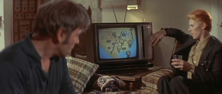
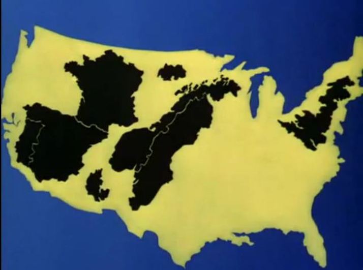
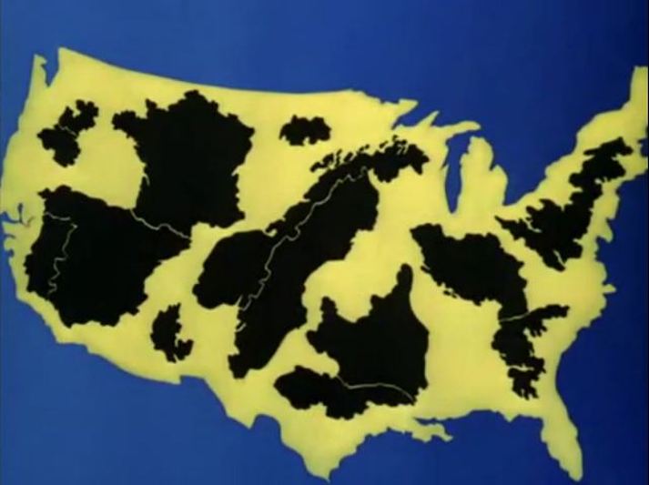
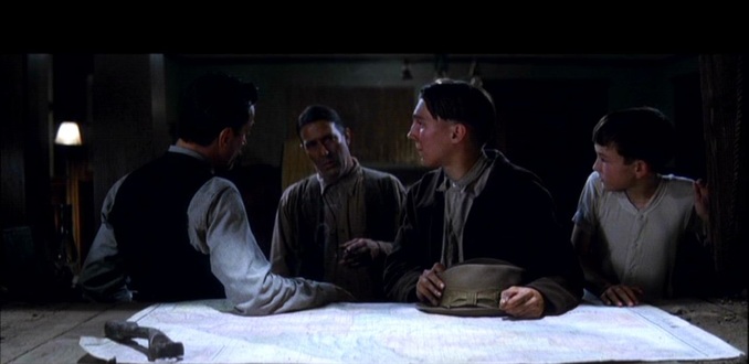
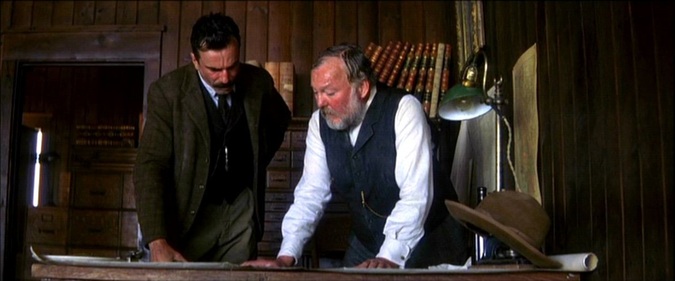
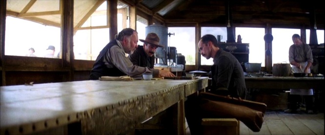
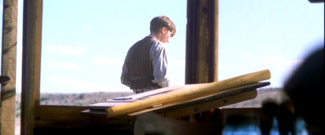
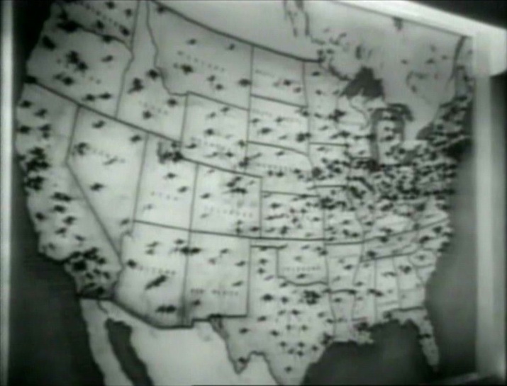
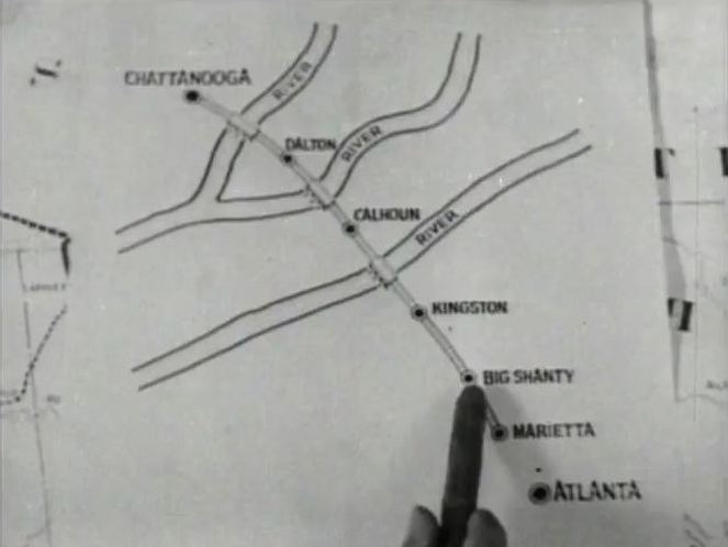
The quest in the film is to find a particular crossroads, and it might seem that its pursuit would require a map. Their guide, however, is not a map but a drawing:
0 Comments
See here ('Where are we?') for a reading of this film's localisations. Today's post is a homage to a kindred spirit, the wonderful (E)space & Fiction site, devoted to 'spatial machineries and local materializations of fiction' , many of which are cinematic. Here is their map of films they have mapped: And here are links to five other films noirs discussed at (E)space & Fiction:
Designed by Milton Glaser and Walter Bernard, the credit sequence of Sleepless In Seattle is very simple, the slow revelation from east to west of a map of the United States. The map combines the political and the physical, showing both states and mountains, and is shot from an angle rather than overhead. The curve of the horizon and the schematic arrangement of stars above the map suggest that this is a view of a planet (one on which the only distinguishing feature is the United States): In different colours, the map returns periodically in the film as the basis of a graphic representation of characters' movements across the country: At the very end of the film a map appears, revealed as the camera withdraws slowly from a Manhattan of lights. The lights look like stars in a black sky, and as it grows distant New York comes to resemble a galaxy. Eventually, the whole of the Unites States is outlined by points of light,and the country becomes a constellation: (I may have missed the point of joke being made, but to me this angled view of the United States makes the country look remarkably like a fish.) There are more conventional maps in the mise-en-scène. A protagonist discusses the geography of the United States with the aid of a wall map: Another protagonist has a map of the city in which she works (Baltimore) on the wall of the office in which she works: When she visits another city (Seattle), she consults a map of that city: She also finds herself in front of a peculiarly decorated, spinning globe in a shop-window display:
Maps often appear in television weather reports or news broadcasts, as background (as above) or foregrounded as a motif (as below): Here are eight further instances of maps on tv screens in films:
Richard J. Lesowsky, ‘Cartoons Will Win the War: World War Two Propaganda Shorts’, in A. Bowdoin Van Riper, Learning from Mickey, Donald and Walt: Essays on Disney's Edutainment Films (Jefferson NC: McFarland & Co., 2011), pp.46-47.
Richard J. Lesowsky, ‘Cartoons Will Win the War: World War Two Propaganda Shorts’, in A. Bowdoin Van Riper, Learning from Mickey, Donald and Walt: Essays on Disney's Edutainment Films (Jefferson NC: McFarland & Co., 2011), pp.47-48.
‘Let's take for example William Wyler's The Westerner. It shows very well how the territorial formation of Texas is absolutely determined by the formation of the couple. The segmentation (decoupage) in the film carries the repetition-resolution effect to an exemplary point. First shot: a map of Texas, in a fixed shot. Last shot: another map of Texas, starting from which a backward camera movement discloses the conjugal bedroom where the heroine is moving toward the window, followed by her young husband who is holding her by the waist - the wild, untamed hero whose matrimonial education is the subject of the film. The hero's fate is shaped by the feminine figure, but only to the extent that the representations organized around this figure allow for the two of them to be inscribed together in a symbolic framework.’ Raymond Bellour (with Janet Bergstrom), ‘Alternation, Segmentation, Hypnosis’, in Constance Penley (ed.), Feminism and Film Theory (London: Routledge, 1988), pp.187-88. The bookending maps are opposed in several, complementary ways: 1/ The first map is outside of the narrative, an illustrative accompaniment to the narration superimposed upon it, whereas the second is inside the narrative, integral to the mise-en-scène of the last scene. 2/ The details of the first map are only partially readable, because of the superimposed narration but also because the word that names it - 'Texas' - is cut off as the camera pulls out (it is not a static shot), and also because the full outline of the state is not shown, as if the state were not yet fully formed. The second is a complete, fully readable map of Texas. 3/ Through the narration, the first map has a loose chronology associated with it: 'After the Civil War, America, in the throes of rebirth...'; 'First came the cattlemen, and with them "Judge" Roy Bean...'; 'Then into his stronghold moved another army, the homesteaders...'; 'War was inevitable, a war out of which grew the Texas of today.' Whereas the second map has attached to it a specific date, as if precise chronology were a function of territorial formation (this is a recurrent chronotope of the Western): Bellour's emphasis on the hero's 'matrimonial education' plays down two other subjects of the film related to the presentation of maps. What we first see after the first map is the opposition of cattlemen and homesteaders as a story of fence-breaking and fence-making: The tracing of these territorial boundaries is a cartographic practice, making possible the identification of Texas on the map that is a part of the film's resolution. The second subject is tied to the theatrical motif. The end of Judge Roy Bean's story is the abortive performance of Lily Langtree, who is replaced on the stage by Gary Cooper ('The Westerner'), dramatically revealed as the curtain rises. The end of this sequence shows the empty theatre as the curtain comes down. We do not see it come down on the stage, only how the lighting of the scene changes as the shadow of the curtain falls: In the next sequence (some time after), this is followed by a shift in the mise-en-scène of the motif, as we see a blind rising theatrically to reveal not a stage but a map: This staged effect mimics a wipe, contrasting with the actual use of editing effects in the presentation of the first map (superimposition and dissolves).
The 'stage', now, is the domestic space, the conjugal bedroom. The displacement of theatricality onto cartographic display is one of the representations around the couple that, in Bellour's words, 'allow for the two of them to be inscribed together in a symbolic framework': M’s outer office has the familiar wall maps that establish the global scale of MI6’s operations (see here for the first instance of this in the Bond canon): Bond’s in-car tracking device takes us from Stoke Park in Buckinghamshire to Southend Airport in Essex, then to Geneva. From there we go north (I can’t quite make out where), then on to Goldfinger’s factory between Stans and Stansstad, just south of Lucerne: When the film cuts from the device to the terrain it represents, an irony is apparent in the contrast of horizontal (the map) and vertical (the mountains). Plotted against each other, you get the diagonal lines of one of cinema’s more famous mountain sequences: A similar tracking device later shows us the vicinity of Goldfinger’s lair near Fort Knox (Kentucky), but the efforts of the US agents to follow the plot on it are thwarted by Oddjob, and the device breaks down when the car it is tracking is crushed. Unlike the lairs of so many other such villains, Goldfinger’s does not have large wall maps as décor. He has two smaller, horizontally placed maps at his desk but, as expressions of his power over the world through representation, his preferred alternatives to mapping are the aerial photograph and the scale model: (Goldfinger is at one here with the film’s liking for aerial views.) The film’s cartographic configurations conclude with the tracing of a vertical trajectory, as Bond and Pussy Galore parachute from a plane: For further comment on the spatial machinery of this film, see: (e)space & fiction
Two parallel boardroom scenes mark a shift in attitude for the female protagonist. In the first she is all powerful, and the initial staging whereby she is blocked by the standing man in the centre is ironic. The framing and staging of the rest of the sequence will establish clearly her dominion over the men in the boardroom. Her positioning in relation to the two maps contributes to that impression.
In the second sequence the initial staging indicates a diminution of power. Though this time she is immediately visible, she is off-centre in relation to the maps. In the course of the sequence there are framings that match those of the earlier sequence, and it is her change in dress and demeanour, rather, that underscore the what has changed in the cours of the narrative. The schoolroom is the one map scene in Imitation of Life. The arrival of Annie (Juanita Moore) reveals to the class her daughter's blackness, causing her to run from the room, the first of several such flights around which the mother-daughter story is organised. The lesson is about difference on an international scale (what Santa Claus is called in different countries), but the map of the United States is an invitation to read the personal melodrama in national terms.
For a full-scale reading of Imitation of Life in such terms, see Ryan DeRosa, 'Black Passing and White Pluralism: Imitation of Life in the Civil Rights Struggle', in Deborah Barker & Kathryn McKee (eds), American Cinema and the Southern Imaginary (Athens GA: University of Georgia Press, 2011), pp. 151-78. The only mapshot in the film. By having a hollowed-out, reversed outline of the United States frame a correct map, the shot neatly suggests the doubling and deception that is central to the film. Emptiness and triviality are also suggested as themes.
Animated maps to illustrate a point are common in documentaries (hence their use in the 'News on the March' section of Citizen Kane), and Super Size Me has three striking instances. Spurlock also, however, 'animates' a map profilmically by progressively sticking flags and then photographs onto a map of Manhattan:
David Bordwell has read in detail the first map scene in There Will Be Blood (here), analysing the simple but powerful staging of this one-shot sequence: 'Many directors would have cut in to a close-up of the map, showing us the details of the layout, but that isn't important for what Anderson is interested in. The actual geography of Plainview's territorial imperative isn't explored much in the movie, which is more centrally about physical effort and commercial stratagems.' There are three more map scenes in the film, each of them as indifferent to the actual geography of that part of California, because Anderson isn't interested in the details of the layout, of course, but also because these would be real maps on which the fictional 'Little Boston, Isabella County' couldn't appear. The next map scene is Plainview's visit to a real estate office, a two-shot sequence in which there are three maps on the wall, differentiated in look but hardly readable in detail. A fourth map is brought out after Plainview asks Al Rose the pertinent question: 'Well, where's the map?' This map is discussed in detail, but no portion of it is shown: This scene is followed up later in a one-shot sequence where Plainview discusses the same area with Rose. This time the camera moves slowly in towards a closer framing of the table on which the map is placed. The map is distinctively coloured but still not readable: At the end of this shot the map is rolled up. Two earlier views of a rolled-up map, in Plainview's site office, serve as reminders of the territorial imperative, but also that we are not fixed on the actual territory: The last map scene offers a satisfying match of territory and map, not through actual geography, but in the repetition over a map of a gesture performed in the territory. First a wooden stake is hammered into the ground, signalling the route for the pipeline: And then, at a meeting with his Union Oil associates, Plainview hammers a stake into the map, through the map and into the table on which it is spread: The film will run for another fifty minutes without being interested in maps again.
A short dvd-bonus on the research that went into the film shows two maps consulted, and a period photograph of maps being used: There are (I think) six maps in Psycho. Three are just part of the establishing decor. The first (above), in the office in Phoenix (it is probably a map of Phoenix), draws far less attention than the two large landscapes to the right of it. The second, in the office of the used car lot in Gorman, may not even be a map at all: The third, in the corridor outside the office of the Chief of Police, in Fairvale, is no doubt supposed to represent that locale, but the map has no identifiable features: The other three maps are more interesting. One is on the front page of the ‘Los Angeles Tribune’ which Marion buys in Gorman: Though the lines of the map are distinct, I cannot identify the locale: possibly it relates to the headline concerning the establishment of a new water district in Los Angeles (though it appears to represent an eastern coastline). Since, anyway, the newspaper is a fictional construct, its headline and illustrations can have been assembled from very disparate sources. Our gaze is constantly returning to this map, not for its topographical interest but because Marion wraps the money in it. The next map is a globe, a familiar type (see the previous entry in this listing), and is here in a familiar setting, as an item in the bric-à-brac of Norman’s room. It signifies only the minimum that globes can signify when attention is not drawn to them by the film (merely pointing to a world beyond the film's locales): The last map is the most interesting. In the Police Chief’s office, the psychiatrist offers his explanation of Norman’s behaviour. He speaks for five minutes, and for almost all of that time he is standing in front of a map on the wall. There are occasional cuts away for questions and reactions from his audience, but mostly we are looking at the psychiatrist and a map: In The Moment of Psycho (2009), David Thomson identifies this as a map of Shasta County, northern California,and demonstrates that this is a feasible location for the town in which the film’s action comes to a close. Psycho has moved from Phoenix, a real place rendered with a panoramic view and identified in screentext: to ‘Fairvale’, a fiction confected on the studio lot. Though the map is not easily decipherable, it is peculiar that the film here undermines earlier efforts to detach the town from topographical reality, though perhaps only Shasta County residents would have recognised the place on the map from this closer detail: Detachment from exact reality is the dominant note here. The film had began with chronological exactitude on Friday December 11th (1959): carrying over to the murder of Marion on Saturday the 12th. Arbogast’s investigation then stretches vaguely over the following week, until he is murdered on Saturday the 19th. Things come to a head on the Sunday, and the closing scene at the county courthouse seems to take place that evening. No dates are specified, but a calendar in the office reads ‘17’: meaning either that the Police Chief's calendar has not been changed since the preceding Thursday, or that the film is no longer concerned with being exact ('It's tough keeping track of the time', had said Norman).
This would harmonise with the view (presented by David Thomson) that the ‘psychological explanation’ is itself at some remove from exact reality -- that Hitchcock was ‘pulling our leg’. ‘The road movie, then, takes as its specific project the aligning of event and meaning within the image of and as political geography. This is nowhere so powerfully signified as in the genre scene, prevalent in so many road films, of the cut between the map and its territory. Indeed, the road film forges an explicit connection between the map as political . representation (say, in the hands of the police as they track the progress of bodies in flight, or in the hands of hapless voyagers, trying to find, say, Pismo Beach) and place as the being of territory. In general, the two elude each other, usually to the benefit of the latter, but with widely differing results. Hence, we see in Ford the difference between the marking out of territory by the ubiquitous US 66 signs and the hands that grasp the dirt; or in Capra, between the flags on Edward Arnold's map which draws the nation into his fascist web of John Doe clubs and Cooper and Brennan fishing under a bridge, beneath the road and out of sight; or the unmappable position of the lost horizon, Shangri-la.’
Bennet Schaber, ‘“Hitler Can’t Keep ‘Em That Long”: The road, the people’, in Steven Cohan & Ina Rae Hark (eds), The Road Movie Book (London: Routledge, 1997), p.25. watch Meet John Doe here ‘Cartographic imaginings not only locate us on this earth but also help us invent our personal and social identities, since maps embody our social order. Like the movies, maps helped create our national identity.’
Vincent Virga, Texas: Mapping the Lone Star State Through History: Rare and Unusual Maps from the Library of Congress (Guilford CT: Morris, 2010), p. vi. ‘What doe the cinema of space par excellence think about when it dreams of Baudrillard? It thinks about lines (dialectical polarity), about maps (the precession of the map over the territory), about networks (reversibility and the circular forms of commutation), about hyperbola (potentialisation), about interstices (viral strategies) and about spirals (ecstatic enthusiasm and thought as precipitation). In short, it thinks about fatal spaces of resistance.’
Jean Baptiste Thoret, ‘The Seventies Reloaded (What does the cinema think about when it dreams of Baudrillard?)’, translated by Daniel Fairfax, Senses of Cinema 59 (2011), originally published in Les Cahiers de L’Herne, 84 (February 2005) ‘The figure of the map returns: on the map are inscribed the names of these missing cities [New York and Los Angeles]; on the map is also drawn the wandering [errance] of Al Roberts, a “nomadism” that, according to some, is inherent in the film noir genre.’
Teresa Castro, ‘Les cartes à travers le cinéma’, TexteImage 2 (2008) See also the discussion of the map in this film on (e)space & fiction ‘In the case of primed verbal images, the accompanying words lead us to focus on specific features of the pictures. Metaphorically we could say that we see the pictures through the words. With verbal images proper, however, we find the words through the pictures. There is no accompanying text; rather, we supply it. For example, in The Thin Man, the police begin a nation-wide search. There is a cut to a map of the US, and a net shoots out of New York covering the country. The image forcefully suggests the word “dragnet” to the spectator.’
Noël Carroll, ‘Language and Cinema: preliminary notes for a theory of verbal things’, Millennium Film Journal, 7-9 (1980-81), p.187. ‘There is a scene early on in The General in which the Union spy, Captain Anderson, shows his commanding officer a map of the railroad tracks between Chatanooga, where the Northern forces are encamped, and Marietta, Georgia, where the opposing Southern army is headquartered. It is along this route that Anderson plans to hijack Johnnie Gray's locomotive The General and then drive it behind Northern lines whence it can be used to spearhead an attack upon the Confederates. I have heard commentators refer to this map as a diagram of Keaton’s narrative, literally a plot line. Keaton's evident love of geometry and especially symmetry , it is suggested, drew him to this neatest, cleanest, most elegant of narrative designs. First, the Union hijackers steam the train one way with Johnnie in earnest pursuit; then he recovers the engine and races home in the opposite direction with the Northerners on his tail. Was there ever a more linear narrative? Moreover, the symmetry involved in these two chases over the same terrain affords the opportunity for a wealth of comic variations on various recurring themes, such as decouplings and side-trackings, made all the more risible for being repeated.
This interpretation of the map is very tempting.’ Noël Carroll, Comedy Incarnate: Buster Keaton, Physical Humor and Bodily Coping (Chichester: Wiley-Blackwell, 2009), pp.159-60. ‘This intervention of the aleatory signals the start of a proliferating structure, the fragment of music intensifying the indecision before the appearance of a map in close up. The city, roads and rivers evoke a nerve cell and its many ramifications...’.
Jean-Louis Leutrat, Resnais: l’Amour à mort (Paris: Presses de la Sorbonne Nouvelle, 1992), p.124. (En souvenir de Jean-Louis, décédé le 29 avril 2011.) 'The film cuts to a close-up of the map where thumbtacks are set adjacent to dots by place names."Independence" is north of "Manazar", below which a hand pushes another tack while an iris closes on the space and the shot of a car on the road replaces the rest of the map.'
Tom Conley, 'A Map in a Montage', in Cartographic Cinema (Minneapolis: University of Minnesota Press, 2007), pp.86-87. |
|